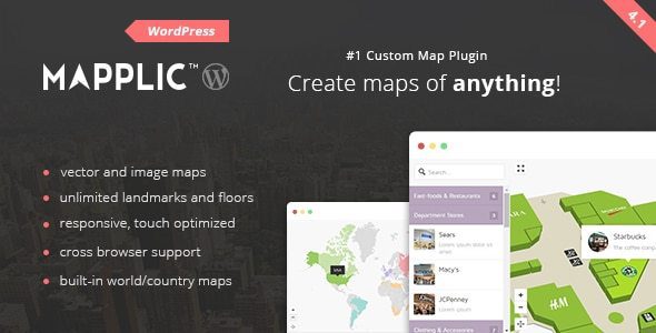
Description
One-of-a-Kind Map Plugin
Mapplic is set apart from any other map software on the market by its vast range of uses and uniquely rich package of features. A truly multi-purpose and fully customizable map WordPress plugin, Mapplic makes it easy to turn images and svg vectors into high quality, professional and interactive maps and floorplans of all kinds.
Fully Customizable and Unlimited
With this ultimate custom interactive map plugin, you can highlight unlimited landmarks or locations with customizable pins, icons and various actions, and with deeplinking, every location can be referenced by its own URL. Mapplic also allows unlimited floors, making it perfect for large public buildings, such as airports and hospitals.
Built-in Maps
Mapplic is the most advanced and comprehensive choice when it comes to world, continent and country maps.
The built-in portfolio includes the most popular 15 geographical maps: World, World Continents, Europe, United States (USA), Canada, Australia, France, Germany, Italy, United Kingdom (UK), The Netherlands, Switzerland, Russia, China, Brazil.
We are constantly expanding our online map directory with free, high quality maps, including Austria, Belgium, Hungary, Japan, Mexico, Poland, Romania, South Africa, Spain.
Responsive and Interactive Experience
Your Mapplic maps and floorplans are responsive and touchscreen optimized, so that users can enjoy a fully functional, interactive experience on mobile, tablet, and even from a touchscreen kiosk. The addition of categories and searchable or filterable lists makes it even easier for users to find what they’re looking for, such as locating a particular store in a shopping mall. Features such as zoom and pan, minimap and tooltip add to the optimal and intuitive user experience of this unique map plugin.
The Ultimate Versatile Solution
Sometimes a tile-based web mapping service, like Google Maps or OpenStreetMap, just won’t cut it, and that’s where Mapplic comes into its own. You can upload any of your own maps or vector drawings, or choose from our extensive built-in directory, and transform them into a dynamic, interactive experience. These are just some of the cases when this flexible, responsive map software is the perfect solution:
- Building flooplans: shopping malls, hospitals, schools, airports, public buildings
- Illustrated maps: ski maps, isometric maps, or illustrations of any kind
- Temporary maps: camps, festivals or anything that is not a permanent site
- Maps for moving vessels, like cruise ships
- Historical maps: re-create historical landscapes, sites or buildings
- Fantasy maps: RPG and other video game maps, or fictional realms
The only limit is your own imagination!
Key Features
- Unlimited landmarks: locations with unique pins and various actions
- Unlimited floors: multiple floors are supported without any limitation
- Deeplinking: every location can be referenced by its own URL
- Responsive design: provides optimal experience across a wide range of devices
- Touch optimized: touchscreen devices, like tablets and smartphones, are also supported
- Admin interface: user friendly backend
- Well documented: a detailed user guide is included


Reviews
There are no reviews yet.